From Village Strolls to a Night in a Mountain Cave: The 23 Best Clarens Hiking Trails
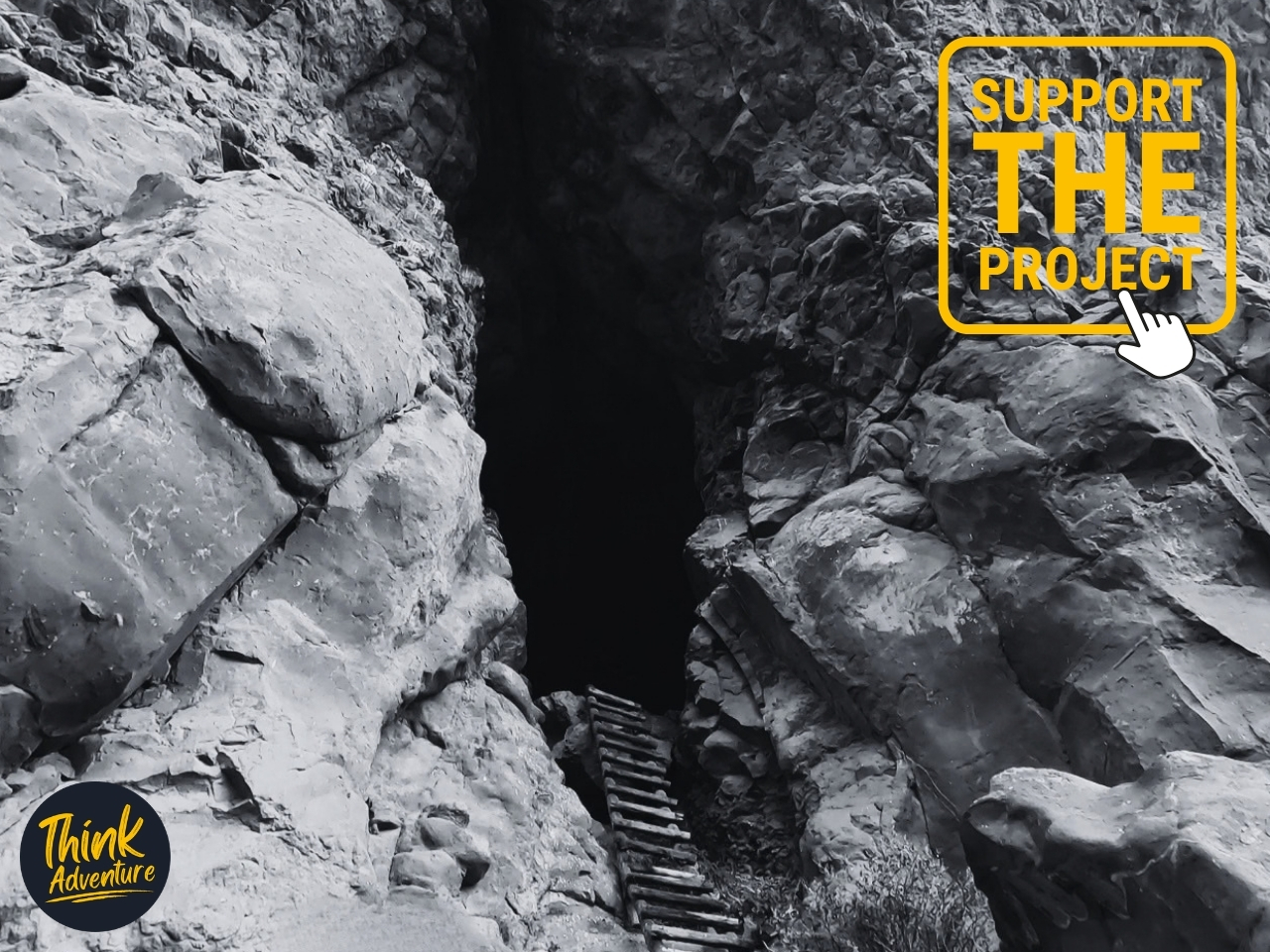
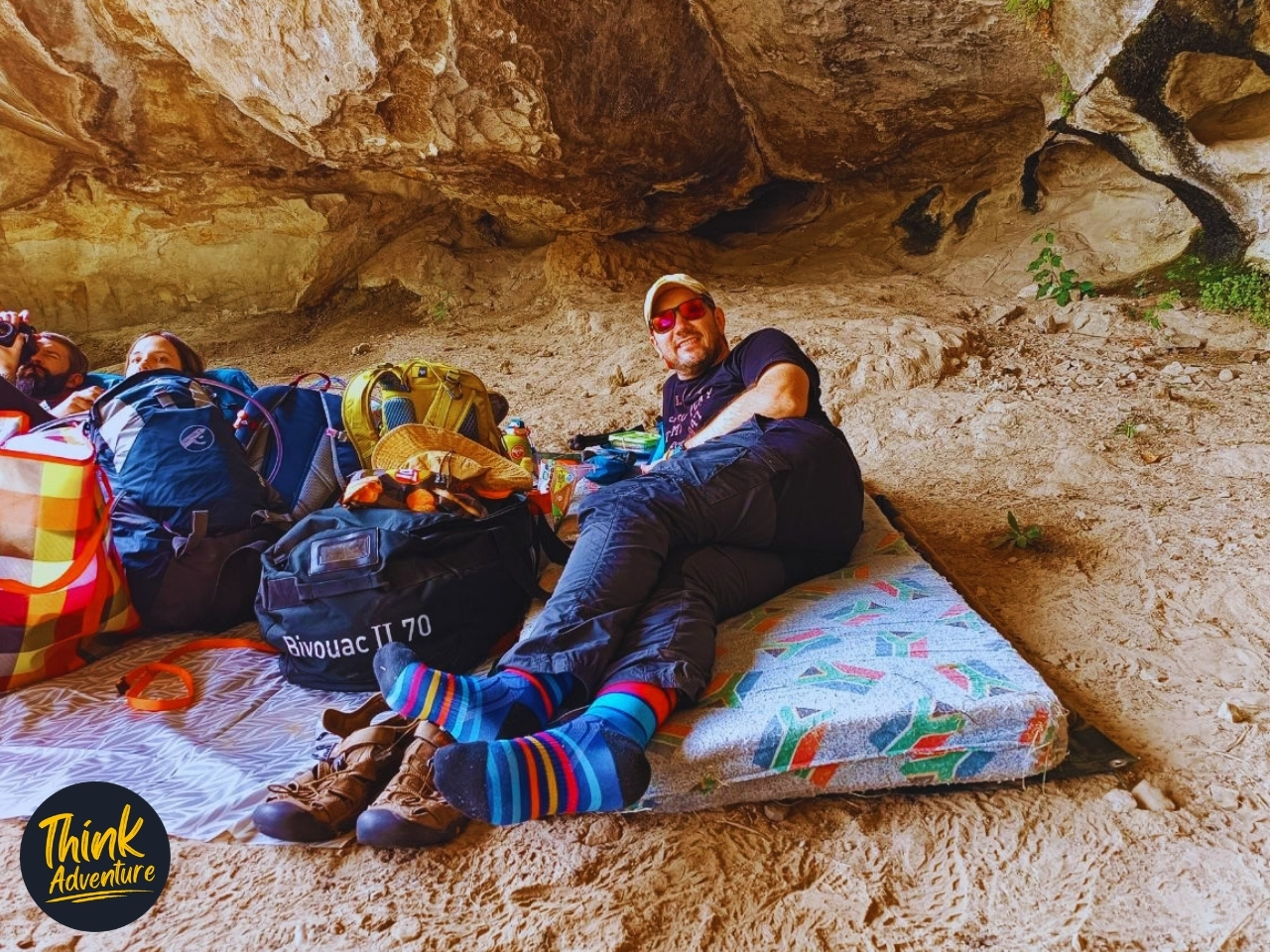
On day two of a four-day trip to St. Fort Farm, the trail markers pointed toward Mike’s Cave — 12.6 km in, 581 m of climbing behind me, legs done arguing about it. By the time I got there, all I did was lay out a mattress on the cave floor and stop moving. That night meant hauling a bucket of water to flush the toilet at 2am and watching golden hour turn the overhang orange from where I lay. It’s one of 23 trails within a few minutes of Clarens village square, and it’s near the hard end of the range.
At the easy end: a 700-metre walk to a sunset viewpoint, or a 2.5 km loop through the Clarens Nature Reserve that takes about an hour. At the other: Mount Horeb, the highest point most hikers here will ever stand on, at 2,449 m. In between is everything from family walks along the Little Caledon River to the two-day Ribbok Trail through Golden Gate Highlands National Park.
Below is the full list, grouped by area, with distance, difficulty, and what to expect on each.
Clarens Nature Reserve Trails
1. Scilla Trail
Named after the protected Blue Scilla (Merwilla plumbea), which blooms in October and covers the sandstone cliffs in blue. An easy 2.4 km loop, about 30 minutes, starting at the CVC (Clarens Village Conservancy) gate at the top of Main Street. Follow the green markers to a bench with views of the village and Mount Horeb. Walkable in either direction, or combined with the Dam and Kloof Walks for a longer route.
2. Maluti View Route
A 700 m detour off the Scilla Trail (about 15 minutes) onto a sandstone ridge with views of the Maluti Mountains in Lesotho, sometimes snow-capped in winter. A good spot to watch the sunset over the Red Mountains. Now officially part of the Scilla Trail. MTB Grade 1 (fully rideable).
3. Dam and Kloof Walks
A 3.5 km walk, about 1.5 hours, including a circular route around Kloof Dam. Start at the CVC gate on Hill Street or the end of Ridge Road. Walk around the dam, or turn off into the Kloof on the far side of the dam wall. Fishing is permitted with a trail permit. This walk is also the starting point for the Spruit Walk, Clarens Mountain Trail, Porcupine Trail, and Caracal Contour. MTB Grade 1.
4. Spruit Walk (Lake Clarens)
A shady, mostly flat 2.5 km family route following a stream that runs in summer. From the Dam Walk, cross the dam wall, turn right, and follow the blue markers over several wooden bridges to Le Roux Street, where the trail splits — left along the Kloof Spruit, or right past the log cabin to the Eastern Spruit. Both rejoin at the Van Zyl Street bridge before continuing to Lake Clarens. MTB Grade 1, except for one unrideable stretch between Bester and Malherbe streets.
5. Leucosidea Trail
Named after the old wood tree found in the kloofs around Clarens. A moderate 2 km trail, about 1.5 hours, heading south past Kloof Dam — sandstone outcrops, open grassland, and reliable birdwatching.
6. Mallen Walk
A 1–3 km trail, about an hour, with views over the village and the Malutis. Two sections, both starting near the tennis courts on Berg Street, on the mountain slope above the Spruit Walk. Joins the Spruit Walk near Steyn Street.
7. Porcupine Trail
A 3.5 km loop, about 1.5 hours, for hikers wanting to get further from the village centre — sandstone outcrops, grassland, and varied birdlife. Connects the Leucosidea and Clarens Mountain Trails. MTB Grade 3.
8. Clarens Mountain Trail
Views over Clarens Village, the Little Caledon River Valley, and the Red Mountains toward Golden Gate. A 3.4 km trail, about 2.5 hours, with a varied, technical surface that requires reasonable fitness. From the Dam Walk, cross the dam wall, turn right, and follow the red markers up the mountainside past a small waterfall (summer only), then along a contour path with a choice of higher or lower route. Descend above Berg Street or continue onto the Sky Contour Trail. MTB Grade 2.
9. Titanic Trail
Named for a sandstone cliff shaped like a ship’s bow. A moderate 2 km trail from Naauwpoort Street, just north of Maluti Lodge Hotel, with switchbacks leading to a steep final climb — not recommended for inexperienced hikers. Return the same way or continue onto the Sky Contour. MTB Grade 3 (steep sections require walking the bike).
10. Sky Contour Trail
A 3.5 km trail, about 2 hours, connecting the Titanic Trail and Clarens Mountain Trail — flowing single track with mountain and village views. MTB Grade 2.
11. Route 2030
Connects the Sky Contour and Caracal Contour Trails, passing the highest point in the Clarens Nature Reserve network at 2,030 m. Reached via the Dam and Kloof Walks and a short stretch of the Porcupine Trail, then switchbacks up to the contour path. MTB Grade 2.
12. Caracal Contour Trail
A 5.2 km trail designed with conservation in mind, suitable for both hikers and mountain bikers, with some of the best views in the reserve over the village and surrounding mountains.
13. Mount Horeb Climb
Not an official CVC trail, but included here for hikers after the biggest day out in the area. Mount Horeb reaches 2,449 m (the start point sits around 1,850 m), with views over Fouriesburg, Clarens, and much of Golden Gate Highlands National Park from the summit — where there’s a trig beacon and a visitors’ book. The yellow smiley face visible on the mountainside is a radio relay station for the Clarens Police Station, not a trail marker.
IMPORTANT: Book through Clarens Xtreme, and notify farm owners Neil van Schalkwyk (082-774-8814) and Daan Viljoen (083-630-8302) before setting out.
St. Fort Farm Hiking Trails
14. Mushroom Rock Trail (St. Fort Trail)
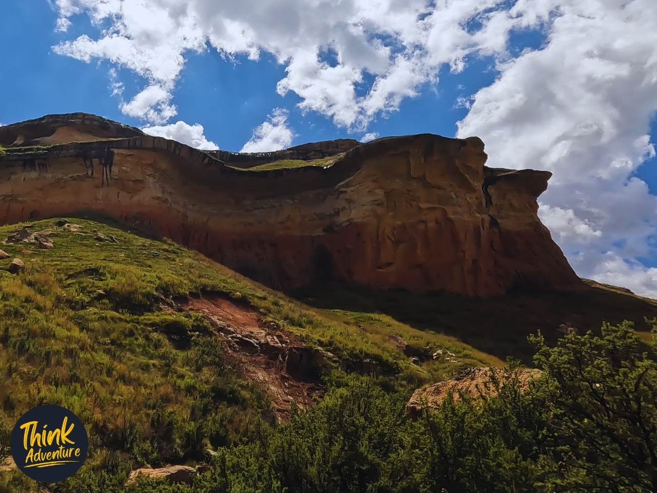
One of Clarens’ most popular trails, following the Little Caledon River before climbing St. Fort Mountain to the Mushroom Rock formation. St. Fort Farm hikes range from 3–4 km, while GPS tracking on the day put it closer to 5.7 km with 217 m of elevation gain. Expect somewhere in that range depending on which of the two route options you take: a gentle path suitable for all ages, or a steeper one with ladders and cave climbing. Best views of the Little Berg and Escarpment wall are at sunrise.
15. Batwing Falls Trail
A moderate 5.9 km trail from St. Fort guesthouse, about 2.5 hours, with a steady climb to a plateau followed by white arrow markers leading to the bat-wing-shaped Batwing Falls. A good middle-ground pick for hikers wanting real elevation without an overnight commitment.
16. Mount Perazim Trail (Old Cannibal Trail)
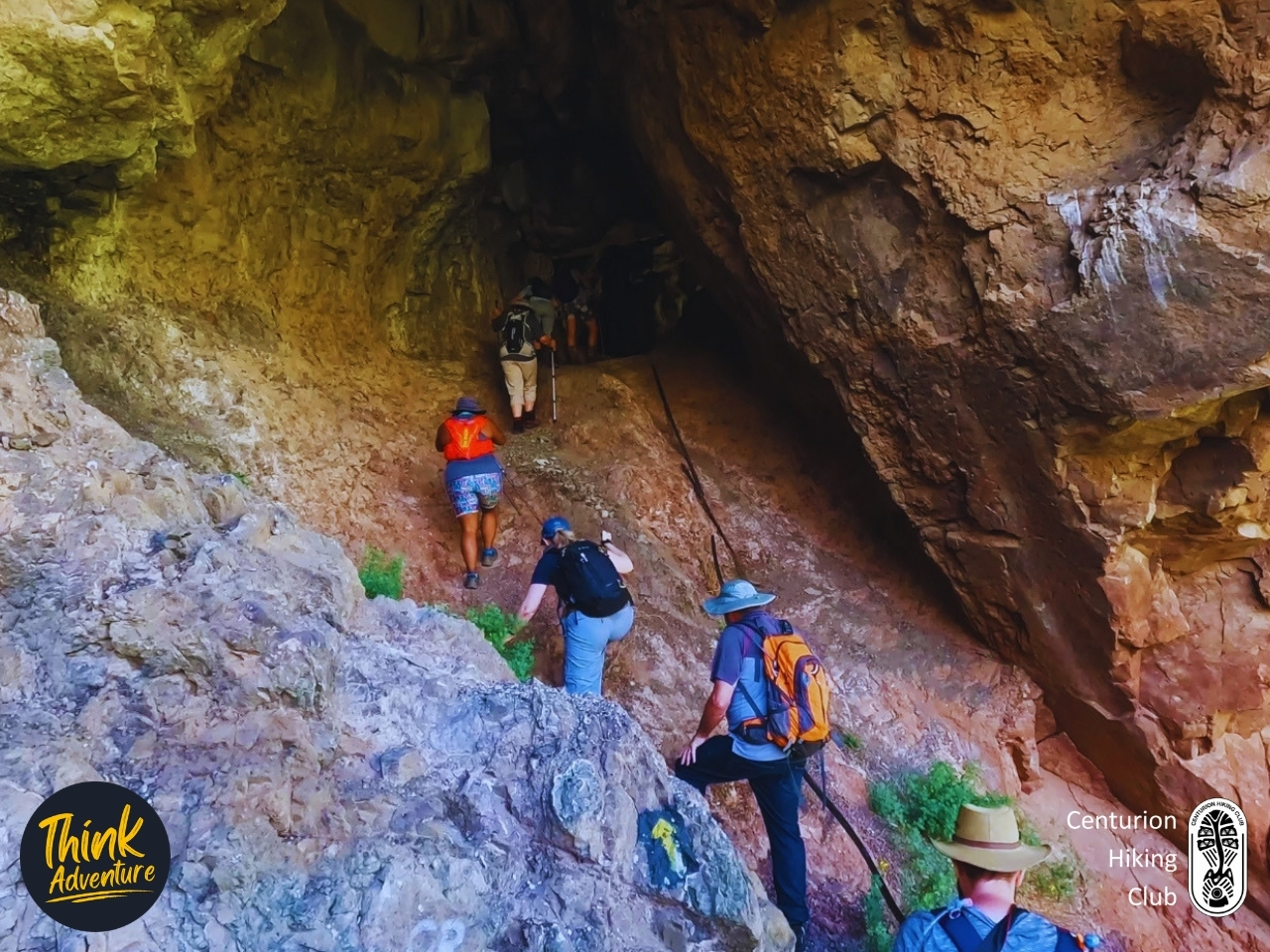
A two-day, roughly 19 km overnight hike (day one: 12.6 km, 581 m elevation gain; day two: 6.4 km, 220 m) through grassy plains, riverbeds, and forest, ending with a night in Mike’s Cave — a historic overhang fitted with mattresses, a basic toilet, and a braai area. Along the way you’ll pass Bushman paintings, swimming holes, and views out to Generaalskop and the Maluti range. A porter service is available to carry overnight bags to the cave for R80 per bag.
The name comes from 1800s folklore about tribes said to have turned to cannibalism during warfare and drought. Conditions at the cave are genuinely rustic — water for the toilet has to be hauled in by hand, and shower access is limited — so come prepared. Booking through St. Fort Farm is required in advance.
I did this trail as part of a four-day trip to St. Fort Farm, arriving with a knee that nearly kept me home. A St. FORT FARM Hiking Adventure: I Slept in a Cave on This Clarens Hike (SHOCKING)
Golden Gate Highlands National Park Hiking Trails
17. Holkrans Trail
“Hollow Cliff” — a 2.4 km loop, about an hour, rated easy to medium. The main feature is a large overhang cavern reached by a wooden ladder, the most demanding part of an otherwise easy walk. Starts from the Golden Gate Hotel parking area, with clear views of the park’s sandstone cliffs, including Brandwag Buttress.
18. Brandwag Buttress Trail
A 2.7 km unguided loop, about an hour, starting from either the Golden Gate Hotel or Glen Reenen Rest Camp. Suitable for families with accompanied children. One steep section uses a chain for support on the way up to the best viewpoints of the sandstone formation that gives the park its name.
19. Echo Ravine Trail
A short, easy 1.9–2 km walk, under an hour, through Golden Gate’s sandstone landscape. A good warm-up before a longer hike, or a solid option if you’re short on time.
20. Boskloof Trail
A 2.09 km moderate trail from Glen Reenen Rest Camp, about an hour, with a 133 m ascent. Follows a stream, with wildflowers in season. Unguided.
21. Cathedral Cave Hike
A guided 6 km return hike to one of the park’s largest overhangs, which doubles as a breeding site for the Southern Bald Ibis — a species currently listed as Vulnerable. The trail is closed to protect the breeding colony, typically from May to October, though exact dates shift year to year, so confirm current availability before you plan around it.
Booking is essential — call SANParks 2–3 days ahead, and be patient, as the line is often busy. A minimum of five hikers is required to run the hike. You’ll be directed to meet at Gladstone Stables for a 9am start; the fee is R223 per person, payable on the day at reception. It takes around 5 hours — the base route is roughly 6 km, but weather can extend it; one recent hiker reported an 8 km day after rain forced a detour.
22. Wodehouse Peak Trail
The most demanding day hike in the park: a 9–11 km loop, 4–6 hours, with around 690 m of elevation gain, reaching close to 2,260 m. Starts from Glen Reenen camping site. Rated Hard — above-average fitness and proper preparation are genuinely required. Named after Sir Philip Wodehouse, Governor of the Cape from 1861 to 1870, whose negotiations helped settle the border dispute between the Boers and Basotho.
23. Ribbok Hiking Trail (28 km)
A two-day, one-night route for experienced hikers, starting with a steep climb up Brandwag Buttress before crossing sandstone cliff country and the Boskloof stream. Overnight at Ribbok Hut (bunks, kitchen, braai, ablutions). Booking is mandatory, groups are capped at 18, and you’ll need to carry your own supplies. SANParks lists this route as available December through October — confirm dates before booking if you’re planning for November.


Practical Guide – Clarens Hiking Trails
Clarens Nature Reserve Trail Permits
A permit is required for all activities in the Clarens Nature Reserve, including hiking, mountain biking, and fishing. It’s valid for one week from the date of purchase, and the income goes toward conservation and trail maintenance.
Where to buy:
- Clarens Xtreme, 530 Sias Oosthuizen Street
- Highland Coffee Roastery, at the reserve entrance
- The official CVC map, sold at most businesses in the village, also serves as your permit
- Enquiries: 082-563-6242
- Cost (2026): Adults R40, children R20
Essential Hiking Tips
Carry:
- Water — 2–3 litres for longer trails
- Snacks
- A charged cellphone
- Sunscreen and a hat
- A basic first aid kit
- A trail map
Safety:
- Check the weather before you set out
- Tell someone your route and expected return time
- Start early to avoid afternoon heat and storms
- Some trails get slippery after rain
- Rinkhals (a spitting cobra) and puff adders are both present in the area — a walking stick and sturdy boots are worth having
- Dogs are permitted on many trails but must stay on a leash
Best Times to Hike
- Spring (September–November): Wildflowers bloom, including the Blue Scilla in October. Mild temperatures.
- Summer (December–February): Warm, with afternoon thunderstorms common. Waterfalls and streams are running. Early starts recommended.
- Autumn (March–May): Clear air and good light for photography. Comfortable hiking temperatures.
- Winter (June–August): Cold mornings, clear skies, and the Maluti Mountains often visible snow-capped from higher viewpoints. Pack warm layers for early starts.
Accommodation Near Trails
- St. Fort Farm — on-site trails (Mushroom Rock, Batwing Falls, Mount Perazim)
- Views Clarens — 50–100 m from the Clarens Nature Reserve entrance
- Golden Gate Highlands National Park — Glen Reenen Rest Camp, for multi-day hiking
Some Helpful Links
- Clarens Village Conservancy — official trail information and updates
- Clarens Tourism — visitor information
- Visit Clarens — activities and bookings
- Golden Gate Highlands National Park (SANParks) — reservations and park information
- Centurion Hiking Club – Group hiking opportunities
- The Mountain Club of South Africa – Hiking resources and safety information
- Clarens Things To Do
- A Friday in Clarens
Frequently Asked Questions – Clarens Hiking Trails
Do you need a permit to hike in Clarens?
Yes, and there are two separate ones depending on where you’re headed. Trails inside the Clarens Nature Reserve require a Village Conservancy permit — R40 per adult, R20 per child — available from Clarens Xtreme or Highland Coffee Roastery. Hikes inside Golden Gate Highlands National Park are managed separately by SANParks, which charges its own daily conservation fee (currently R60 per adult, R30 per child for South African residents), payable at reception at either the Golden Gate Hotel or Glen Reenen Rest Camp.
Are Clarens hiking trails dog-friendly?
Most trails inside the Clarens Nature Reserve allow dogs on a leash — the Spruit Walk and Dam and Kloof Walks are both popular choices. That changes at Golden Gate Highlands National Park: SANParks has a blanket no-pets policy across its national parks, so dogs aren’t permitted on any trail inside the park.
What is the easiest hike in Clarens for beginners?
The Spruit Walk (2.5 km) and the Dam and Kloof Walks (3.5 km) are the most accessible routes — mostly flat, partly shaded, and following water for most of the way. Both take under two hours and need no real fitness, making them a good fit for young children or a casual morning out.
How long does the Titanic Trail hike take?
About 1 to 1.5 hours for the 2 km out-and-back. A few switchbacks lead up the north slope to Titanic Rock, a sandstone cliff shaped like a ship’s bow, with a steep final stretch that’s better suited to more experienced hikers. From the top, there are views over Clarens on one side and toward Bethlehem on the other.
Are there multi-day overnight hiking trails in Clarens?
Yes, two. The Ribbok Trail (28 km, two days, one night) runs through Golden Gate Highlands National Park, with an overnight stay at Ribbok Hut. St. Fort Farm’s Mount Perazim Trail — formerly called the Cannibal Trail — covers roughly 19 km over two days, ending with a night in Mike’s Cave, a historic overhang fitted with mattresses. Both require advance booking.
That covers all 23 trails — from an hour-long village walk to a two-day summit push. Whichever one you pick, check current permit and booking requirements before you go, especially for Cathedral Cave and Ribbok.