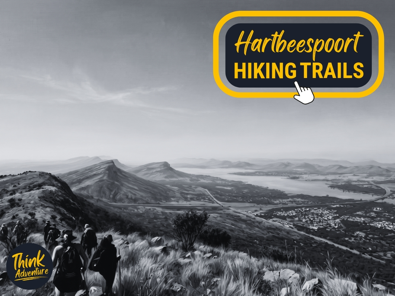
Vergenoeg Black Trail (Vulture Trail) Hiking Guide — Hartbeespoort, Magaliesberg
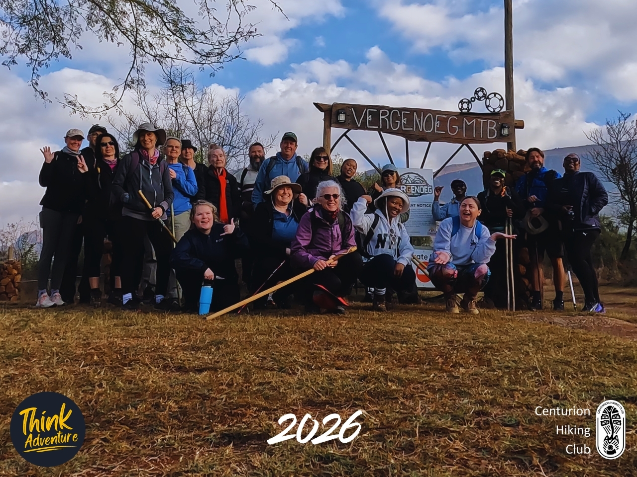
You look beautiful,” I tell them, and they laugh — exactly the reaction I was going for. It’s easier to photograph people when they’re having fun doing it. It’s 8:30am and the haze over the Magaliesberg hasn’t burned off yet, though it will, into one of those clear winter Highveld days that make the effort worth it later. Right now it’s just cold. Put on your jacket cold. The kind of cold that sends half the group toward the café for a fancy coffee before anyone’s boots have touched trail.
I’ve got everyone bunched under the wooden VERGENOEG MTB sign, phone up, working the group and trying to do a good job with the photo. “Give me a hang loose.” Laughter. “Baby five?” That one gets the biggest laugh. Someone throws a peace sign, someone else a V for victory, someone else fakes a bicep curl. I tell them we do this now, at the start, because energy’s high and nobody’s tired yet — by the second half of the hike, nobody’s doing peace signs for anybody. I say action. “I don’t see anything,” I tell them, and they try harder — bigger smiles, sillier faces, hands thrown up. “You’re a tough crowd this morning,” I say, and more laughter.
Then it’s over. Group check — who’s in which group, how many hikers per trail. I make a mental note of faces and names in my group. Watches started. And onward — the hike began, the 10km Black Trail group up front.
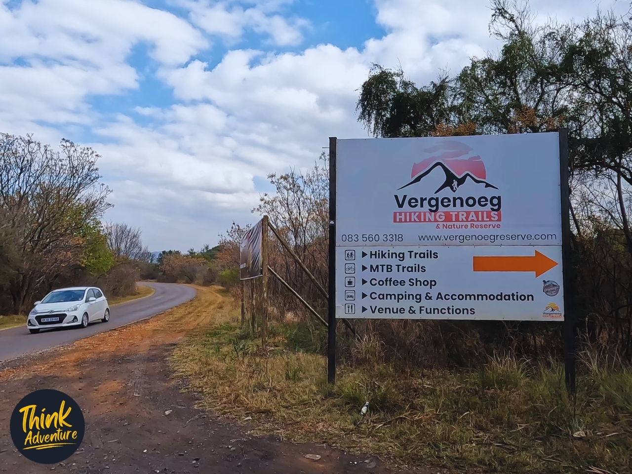
Vergenoeg Nature Reserve sits just outside Hartbeespoort, tucked into the Skeerpoort area on the southern face of the Magaliesberg. An hour out of Centurion, 65km of road behind me before a VERGENOEG HIKING TRAILS sign pointed me off the tar and onto 400 metres of dirt track leading to the parking area.
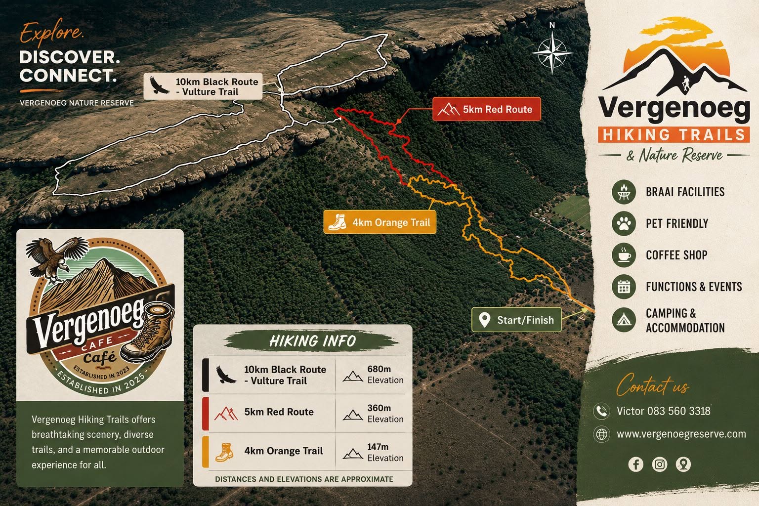
This wasn’t a solo mission. The Centurion Hiking Club had turned up in force — 24 hikers, two leaders, two trails on offer. Orange, 4km, gentler on the legs. And Black — the Vulture Trail — 10km with proper elevation gain to it. I had the Black group. Twelve of us, versus my co-leader’s twelve on the Orange.
From the start it was deceptive — a gentle rise through tree cover, easy enough that nobody was talking about it yet. But the closer we got to the mountain, the steeper it got, and the trees gave way to rock. Then the first technical section arrived: a proper steep scramble where the trail had given up pretending and handed us a rope instead. Hand over hand, boots finding what footing they could, 12 of us working our way up while gravity made its opinion known.
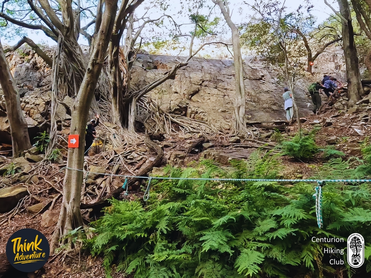
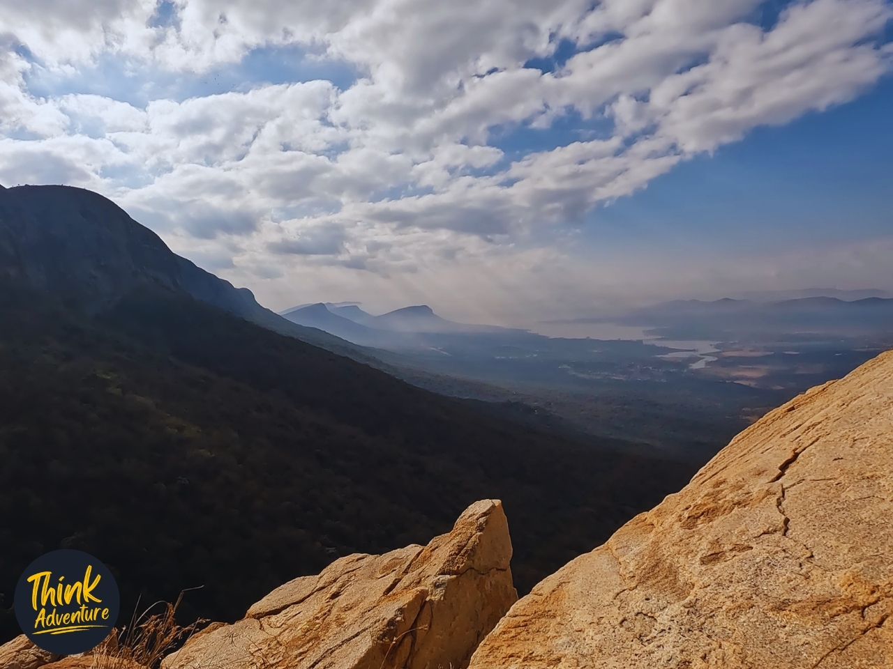
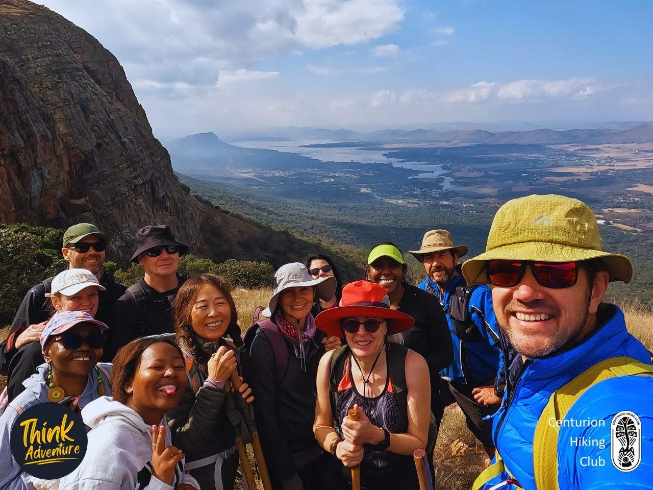
At the top of it we stopped. Not because we’d planned to — because lungs demanded it. We caught our breath, took in the view, I got a group photo in. Then it was straight into round two: a second rope-assisted climb, just as steep as the first. Partway up I looked left and grabbed a few shots — the kind of view you only get mid-climb, when you’re clipped into the moment and the valley’s just sitting there behind you like it’s got nowhere better to be.
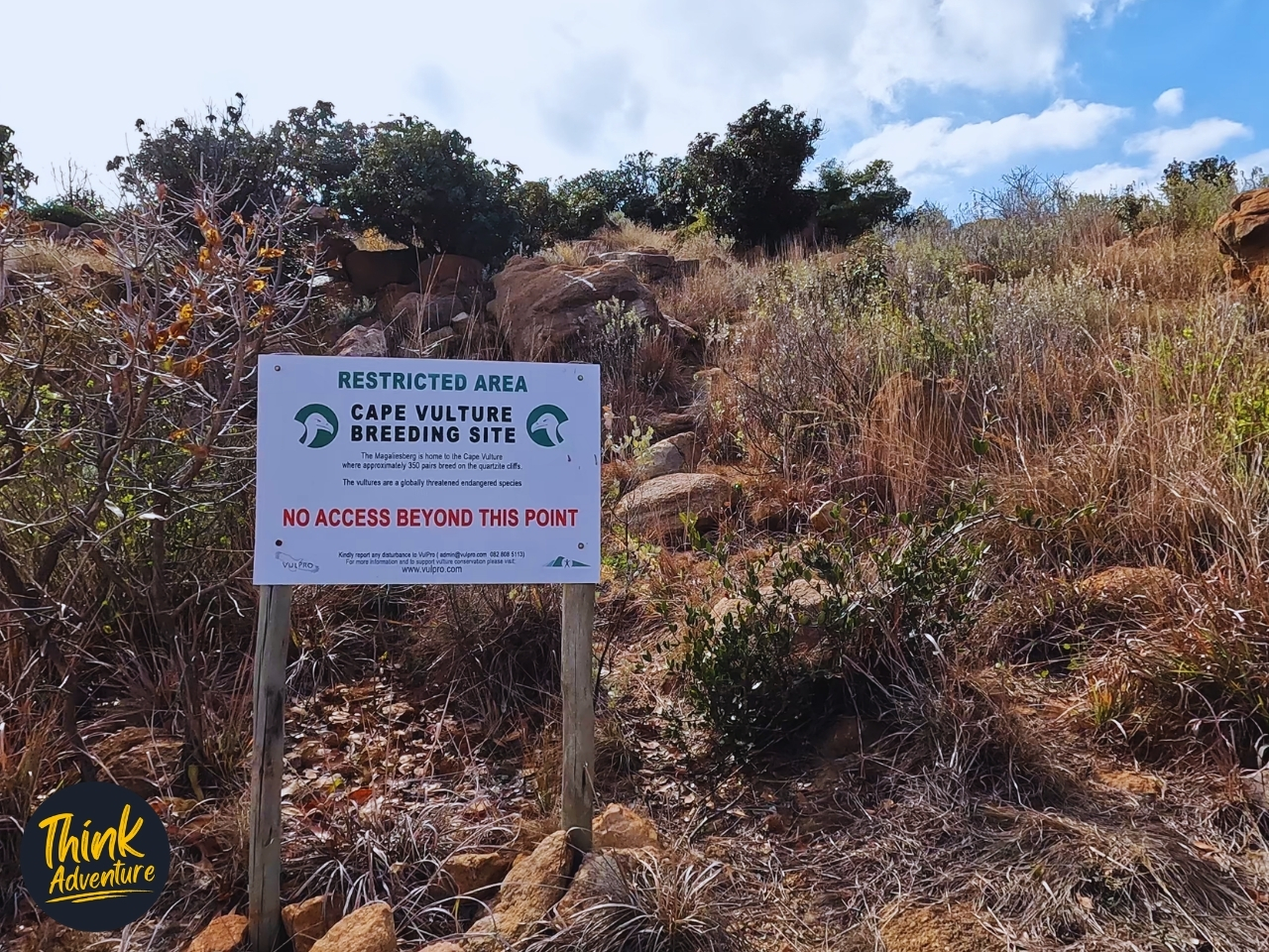
Near the top we hit a hand-painted sign: VULTURE TRAIL, LOOP 1 | LOOP 2. Loop 2 had been the plan — it included a lookout point where the Cape Vultures launch off the cliffs. A sign further along confirmed it: Cape Vulture Breeding Site, restricted beyond this point, roughly 350 breeding pairs on these cliffs. From there the trail eased into a short downhill to the viewpoint.
The viewpoint isn’t built for this — it’s just a shoulder of rock along the ridge that happens to look out over the exact stretch of cliff where the Cape Vultures launch, with Hartbeespoort Dam stretched out hazy and pale in the distance behind it. Last time I hiked this trail, we’d sat here and watched them go — that slow, deliberate drop off the ledge, wings catching air, then the long glide out over the valley. I’m hoping for the same thing again. Twelve of us settle onto the rock, unwrapping something to eat and drink, and watch the sky.
Nothing comes. No wings, no drop off the cliff, no glide over the valley. Just cold wind, quiet conversation, and a ridge that stays empty the whole time we’re sitting there. It’s a strange thing to feel disappointed about — you can’t exactly summon an endangered bird because you brought lunch and want to be entertained. But there’s a small, specific letdown in it, the kind that comes from having seen the good version once and hoping the mountain will repeat itself on command. It doesn’t. That’s not really how mother nature works. It’s more about being at the right place at the right time, whenever that might be.
Still — it’s a beautiful place to sit. Twelve of us with the dam in front of us, cold hands, that particular quiet that group hikes get when everyone’s tired enough to stop performing enthusiasm and just exist for a while. No vultures. But nobody moves with any real hurry either — 15 minutes stretches thin before anyone says it’s time to go.
I checked in with the group, got the nod, and before we left I got what might be the best photo of the day — twelve of us with Hartbeespoort Dam laid out behind us, hazy and enormous. Then we carried on along the ridge, the Magaliesberg’s southern face dropping away to our left, the valley below doing that thing valleys do where they make you feel simultaneously very small and very lucky.
Back at the Loop 1 / Loop 2 sign, decision time. I put it to a vote — “it’s a democracy,” I said, which felt like the right thing to say and turned out to be mostly theatre. Hands went up for yes, hands went up for no, and what I got back was shrugs. No clear read. I thought about it and decided that going down was the best course of action — the mountain wasn’t going anywhere. Another day, another time. Someone suggested splitting the group so the keen ones could still do Loop 1. I wasn’t comfortable with that — there’s only one hike leader, and it’s physically impossible to be in two places at once. We went up as one group, we’d come down as one group. A very small minority weren’t thrilled about it in the moment. Over cold drinks afterward, most agreed it was the right call — some of us were more tired than we’d let on coming down.
From the Vulture Trail sign, the route runs more or less the same way down — Black, Red, and Yellow trails all running side by side back toward the start.
Moderate to hard, depending on your fitness level — and I’d lean toward hard if you’re not used to technical terrain. The rope-assisted sections aren’t optional extras, they’re the trail. Steep rock, real exposure, nothing to catch you if you rush it. My advice: slow is smooth, smooth is fast. Take your time through those parts. A mistake here isn’t a stumble — it’s a fall, and a fall could seriously hurt you.
This isn’t a trail for a first hike, and it’s not one for anyone uneasy on rope or exposed rock. If you’ve done a few technical trails before and you’re reasonably fit, you’ll manage it — and you’ll enjoy it. If you’re not sure, do the Orange or Red route first and work up to Black.
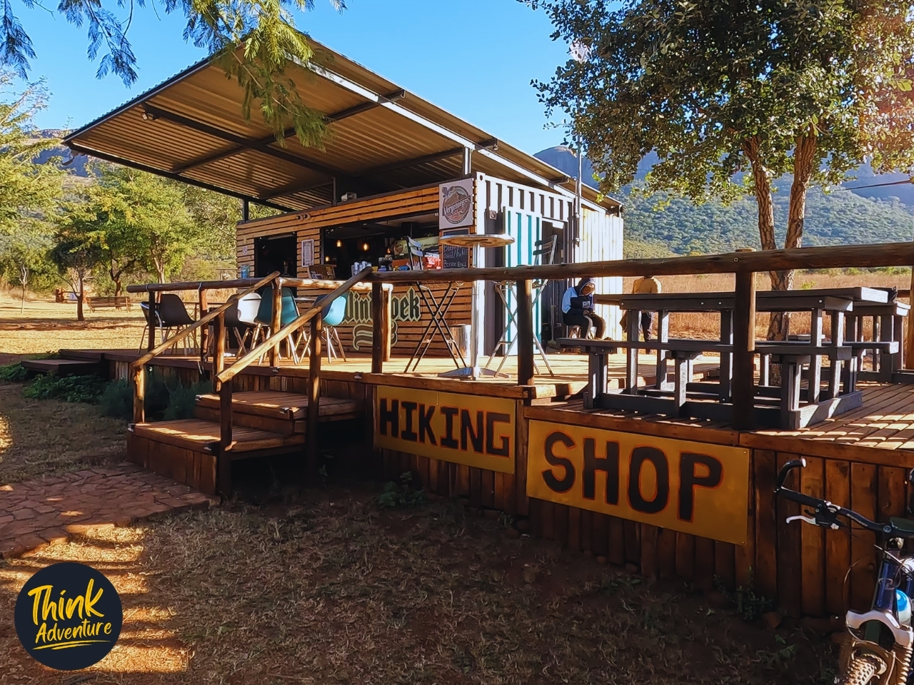
One practical thing worth flagging: it gets noticeably cooler as you climb — you’ll feel it as soon as you’re up near the top. What you start with at 8:30am is enough, though. Most of us layered down as the climbing warmed us up, then reached for that same jacket again once the group slowed down or stopped moving. No need to pack anything extra — just plan to put it on and take it off a few times through the day. And save some appetite for after — the Vergenoeg Café at the start/finish does burgers, wings, toasted sandwiches, and a milkshake that tastes very well earned after 10km of rope-assisted climbing.
I put the Loop 1 question to a vote near the top. The response was mixed enough that there was no clear way forward, so I made the call myself — down — and I stand by it.
Would I go back? Yes, without hesitation. I’ve got a soft spot for trails that put you up high with a proper view — and Vergenoeg delivers that twice over, on a ridge with the kind of exposure that makes the climb worth it.
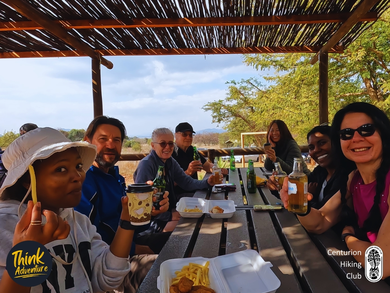
A few of us stayed behind afterward — chicken strips and chips in styrofoam boxes, cold beers, a coffee for the ones who’d had enough of cold for one day. We sat under the café’s reed roof with the Magaliesberg still visible behind us, looking exactly like it had at 8:30 that morning, like it hadn’t noticed we’d been up there at all. Twelve of us had gone up, and twelve of us had come back down — no vultures, no Loop 1, and not a single complaint that mattered by the time the beers arrived.
Practical Guide – Vergenoeg Hiking Trails
The Basics
- Activity: Hiking — Black Route, also known as the Vulture Trail
- Location: Vergenoeg Nature Reserve, Skeerpoort AH, Hartbeespoort
- Vergenoeg Hiking Trails on Google Maps
- Difficulty: Rated Moderate to Difficult, depending on your fitness level. Think elevation gain, and the rope-assisted sections.
- Distance: 10km (Strava recorded 8.85km moving distance)
- Elevation gain: Approximately 518m
- Duration: 3 – 4 hours
- Best time of year: Winter is the more comfortable season — cooler temperatures make the climbing easier. In summer, exposed sections near the top get direct sun with little shade, which makes it more challenging.
- Vergenoeg Hiking Trails on Strava
Getting There
- Nearest town: Hartbeespoort, in the Skeerpoort area
- Start/finish point: Vergenoeg Nature Reserve — signposted off the tar road, then roughly 400m along a dirt track to the parking area
- Parking: Ample parking, gravel surface, unshaded. Safe — lots of people around throughout the day.
What to Expect
- The trail climbs steadily from the start, easy at first, then increasingly steep as you approach the mountain.
- 2 rope-assisted technical sections — steep rock scrambles where a fitted rope aids the ascent. These are the trail’s main challenge and not optional; there’s no easier alternative route around them.
- Well marked throughout, including at the Loop 1 / Loop 2 junction.
- Cell signal is available for the entire route.
- No water sources on the trail — bring everything you’ll need.
- Wildlife and snake encounters are a non-issue in winter (June/July); this may differ in warmer months.
- The route includes an optional loop extension (Loop 2) that passes a Cape Vulture viewpoint — worth doing if you want the chance of seeing vultures launch off the cliffs, though sightings aren’t guaranteed.
What to Bring
- All your own water — no refill points on the trail
- Layered clothing — cold at the start and at altitude, but you’ll warm up on the climbs. What you start the day in is generally enough; expect to add and remove layers a few times.
- Proper hiking shoes — the rope-assisted sections demand secure footing
- Trail snacks / lunch, especially if you’re planning to stop at a viewpoint
Good to Know
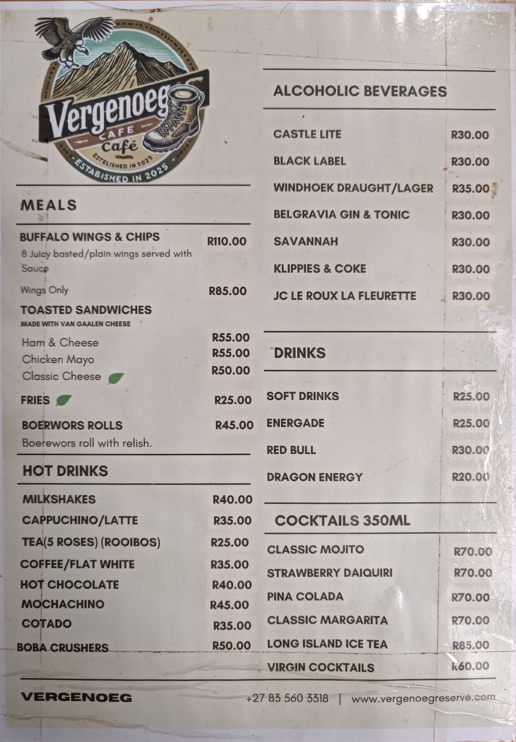
- The Vergenoeg Café at the start/finish point serves burgers, wings, toasted sandwiches, boerewors rolls, milkshakes, coffee, and a full bar including cocktails. Part of the seating area is shaded by trees.
- The reserve also offers camping, accommodation, braai facilities, and hosts functions and events, if you want to make a full weekend of it.
- Recommended for hikers with some technical trail experience already. If you’re newer to hiking or uneasy with rope-assisted scrambling, consider the Orange (4km) or Red (5km) routes first.
Cost and Booking
- Price: R80 per person (Correct at time of writing June 2026)
- Payment: Cash or card, payable directly at the venue on arrival
- Booking: Not required for general access — contact Victor at 083 560 3318 for group bookings or further info
Frequently Asked Questions – Vergenoeg Hiking Trails
What are the distance and route options at Vergenoeg Hiking Trails?
The reserve offers three primary trail options tailored to different fitness levels. Hikers can choose the 4km Orange Easy Trail (80m elevation gain), the 5km Red Moderate Trail (360m elevation gain), or the grueling 10km Black Advanced Trail, which climbs 680m along the rugged Magaliesberg ridge.
Are dogs allowed on the Vergenoeg Hiking Trails?
Yes, Vergenoeg is a highly popular, pet-friendly reserve where socialized dogs are welcome for a small entry fee. However, all pets must remain strictly on-leash at all times to protect the local wildlife, and owners are required to clean up after them.
How difficult is the Vergenoeg 10km Black Trail?
The 10km Black Trail is considered highly advanced and demanding, requiring a solid level of physical fitness and proper technical footwear. It features steep, rocky climbs up the Magaliesberg slopes and tricky navigation sections, but rewards hikers with panoramic views of endangered Cape Vultures.
What are the entry fees and opening hours for Vergenoeg?
As of 2026, day-visitation rates are R80 per adult, R50 per child, and R20 per pet, with both cash and card accepted at the gate. The trails open at 06:00 on weekends and public holidays, and 07:00 on weekdays, requiring no prior bookings for day hikes.
Is camping available at Vergenoeg Hiking Trails?
Yes, Vergenoeg Basecamp offers rustic overnight accommodation including self-carry camping sites, basic tent rentals, and simple mountain huts or a scout hall. Additionally, it serves as an overnight stop for the scenic 2-day, 27km Skeerpoort Valley partnership hike connected to the Van Gaalen trail network.
